Property Record
1 Riverside Dr, Roscoe, NY 12776

NEARBY LISTINGS FOR SALE OR LEASE
Property Detail
1 Riverside Dr
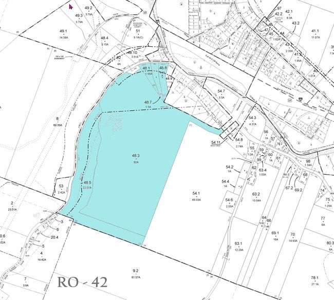
4400-033-0-0001-048-003
LOT 3
Residencehalldormitories
Sullivan
X
New York
36105C0091F
48.007
2025
80.02 AC
2024
Hudson Valley Area
971300
Other Market Areas
320 SF
DEMOGRAPHICS near 1 Riverside Dr
1 Mile
3 Mile
5 Mile
2024 Total Population
288
916
2,146
2029 Population
286
911
2,163
Pop Growth 2024-2029
(0.69%)
(0.55%)
+ 0.79%
Average Age
44
45
47
2024 Total Households
120
386
935
HH Growth 2024-2029
0.00%
0.00%
+ 1.50%
Median Household Inc
$52,500
$46,500
$51,491
Avg Household Size
2.40
2.30
2.20
2024 Avg HH Vehicles
2.00
2.00
2.00
Median Home Value
$155,263
$175,438
$191,715
Median Year Built
1973
1973
1975
Nearby Places
Map Layers
Map Styles
 Street
 Aerial
- Restaurants
- Banks
- Shops
- Fitness
- Groceries
SALE & LEASE HISTORY
LISTING DATE
SALE/LEASE

Sep 24, 2016
For Sale
Oct 22, 2021
For Sale
Nearby Properties
Address
Land Use
TOTAL SIZE
Lot Size
Zoning
Address
Land Use
TOTAL SIZE
Lot Size
Zoning
67,005 SF
3.30 AC
R2
Address
Land Use
TOTAL SIZE
Lot Size
Zoning
336 SF
24.70 AC
NB
Address
Land Use
TOTAL SIZE
Lot Size
Zoning
5,688 SF
68.27 AC
RR
Address
Land Use
TOTAL SIZE
Lot Size
Zoning
8,333 SF
9.67 AC
GB
Address
Land Use
TOTAL SIZE
Lot Size
Zoning
12,879 SF
0.27 AC
GB
Address
Land Use
TOTAL SIZE
Lot Size
Zoning
3,360 SF
630 AC
RC
Address
Land Use
TOTAL SIZE
Lot Size
Zoning
8,230 SF
8.26 AC
NB
Address
Land Use
TOTAL SIZE
Lot Size
Zoning
3,306 SF
21.24 AC
RC
Address
Land Use
TOTAL SIZE
Lot Size
Zoning
12.88 AC
RC
Address
Land Use
TOTAL SIZE
Lot Size
Zoning
7,894 SF
1.62 AC
GB
Address
Land Use
TOTAL SIZE
Lot Size
Zoning
513.57 AC
RC
Address
Land Use
TOTAL SIZE
Lot Size
Zoning
670 AC
RC
Address
Land Use
TOTAL SIZE
Lot Size
Zoning
4,958 SF
0.26 AC
R2
Address
Land Use
TOTAL SIZE
Lot Size
Zoning
7,893 SF
0.23 AC
GB
Address
Land Use
TOTAL SIZE
Lot Size
Zoning
600 SF
19.19 AC
NB
Address
Land Use
TOTAL SIZE
Lot Size
Zoning
6,190 SF
0.16 AC
GB
Address
Land Use
TOTAL SIZE
Lot Size
Zoning
5,187 SF
0.75 AC
GB
Address
Land Use
TOTAL SIZE
Lot Size
Zoning
4,049 SF
0.33 AC
GB
Address
Land Use
TOTAL SIZE
Lot Size
Zoning
1,225 SF
0.61 AC
GB
Address
Land Use
TOTAL SIZE
Lot Size
Zoning
648 SF
54.51 AC
RR
Address
Land Use
TOTAL SIZE
Lot Size
Zoning
2,742 SF
11.07 AC
GB
Address
Land Use
TOTAL SIZE
Lot Size
Zoning
8,244 SF
0.20 AC
GB
Address
Land Use
TOTAL SIZE
Lot Size
Zoning
2,278 SF
2.88 AC
NB
Address
Land Use
TOTAL SIZE
Lot Size
Zoning
0.55 AC
RC
Address
Land Use
TOTAL SIZE
Lot Size
Zoning
7,257 SF
0.62 AC
GB
Address
Land Use
TOTAL SIZE
Lot Size
Zoning
7,500 SF
0.20 AC
GB
Address
Land Use
TOTAL SIZE
Lot Size
Zoning
2,080 SF
0.24 AC
GB
Address
Land Use
TOTAL SIZE
Lot Size
Zoning
6,692 SF
0.36 AC
GB
Address
Land Use
TOTAL SIZE
Lot Size
Zoning
2,082 SF
0.34 AC
GB
The World's #1 Commercial Real Estate Marketplace
Connect with us
© 2026 CoStar Group
The information above has been obtained from sources believed reliable. While we do not doubt its accuracy we have not verified it and make no guarantee, warranty or representation about it. It is your responsibility to independently confirm its accuracy and completeness. Any projections, opinions, assumptions, or estimates used are for example only and do not represent the current or future performance of the property. The value of this transaction to you depends on tax and other factors which should be evaluated by your tax, financial, and legal advisors. You and your advisors should conduct a careful, independent investigation of the property to determine to your satisfaction the suitability of the property for your needs.